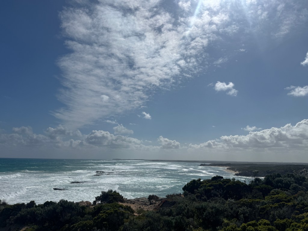
Crossing into South Australia felt like stepping into a whole new chapter. We’d been told the bottom half of SA was “all fishing villages,” but no one explained what that actually meant. Turns out it means skinny towns clinging to the coast, breakwalls built for abalone boats, reefs guarding the shoreline, and truckloads of seaweed piled like someone forgot to turn off the conveyor belt. Different… but in a good way.
Even the telegraph poles were different — two steel I‑beams filled with concrete. Another reminder that every state in Australia insists on doing things their own way. And the roads? Better. Immediately better.
Port MacDonnell — The Southern Tip
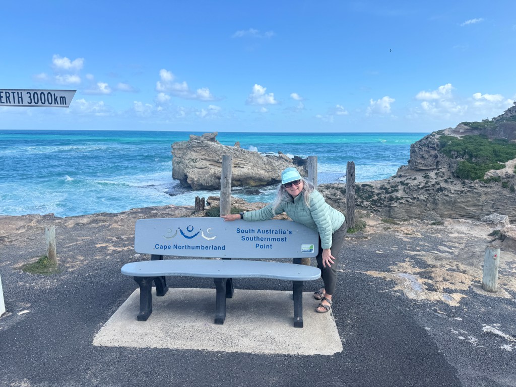
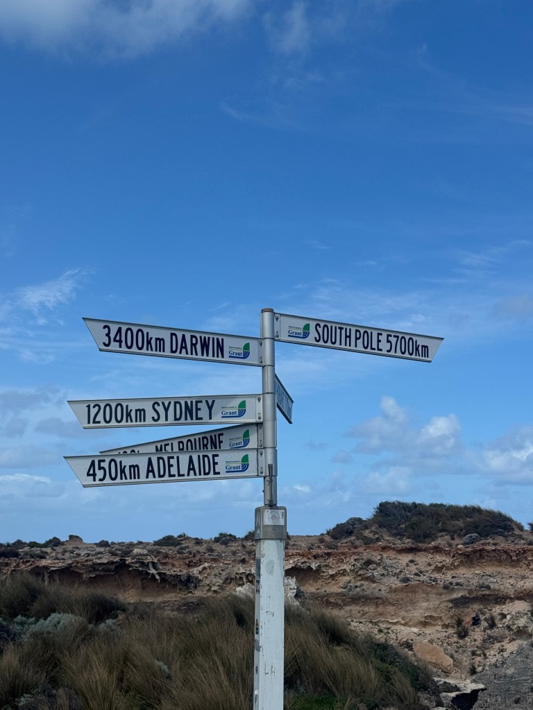
Our first stop was Port MacDonnell, a long, narrow slip of a town hugging the ocean. We wandered out to the most southerly point in SA and settled in for a couple of days, letting the rhythm of the place sink in.
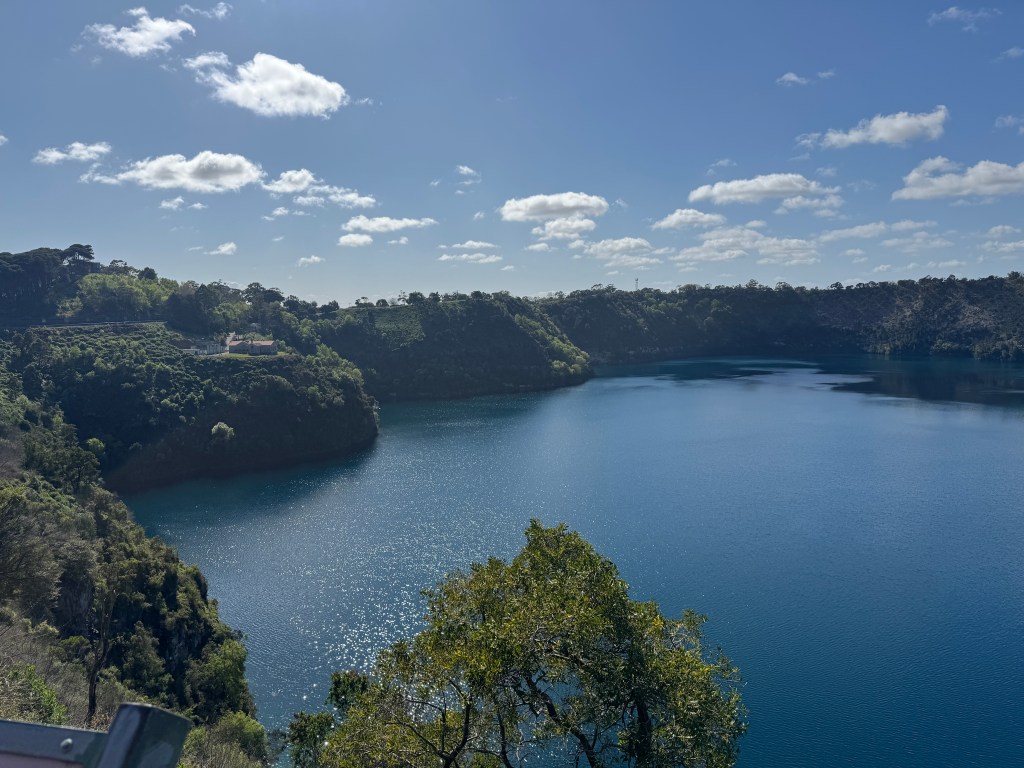
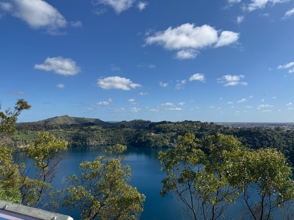
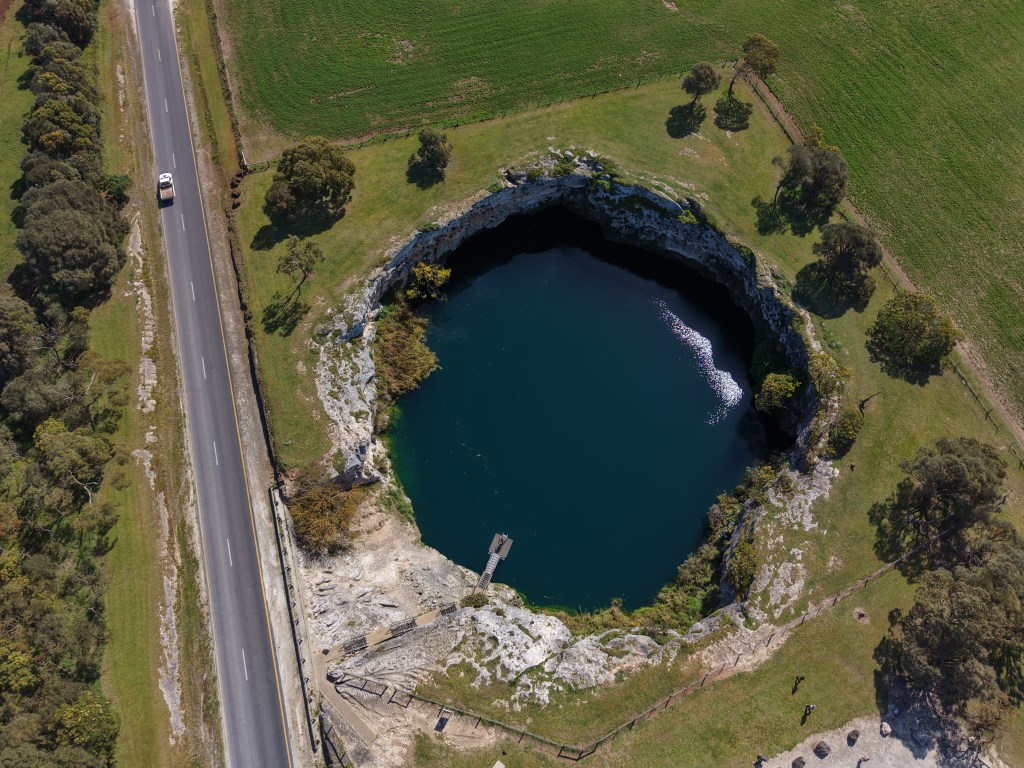
From there we explored the volcanic country: Mt Schank, Mt Gambier, Little Blue Lake, Blackfellows Caves and Carpenter Rocks. This whole region is dotted with extinct volcanoes — and when they’re deep enough, they fill with artesian water. Hence the “blue lake” theme. The one in Mt Gambier is a show‑stopper.
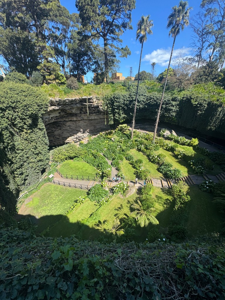
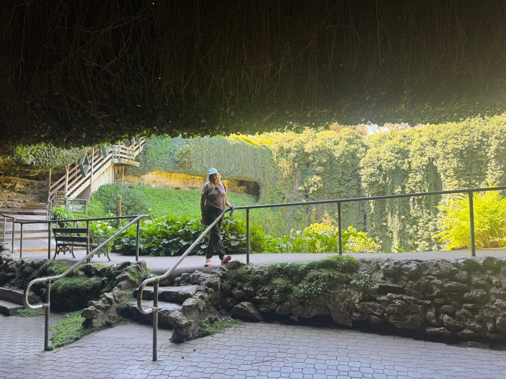
Umpherston Sinkhole was another surprise. Beautiful gardens, dramatic limestone walls… and then we noticed the bee hives tucked into the rock. SA keeps you guessing.
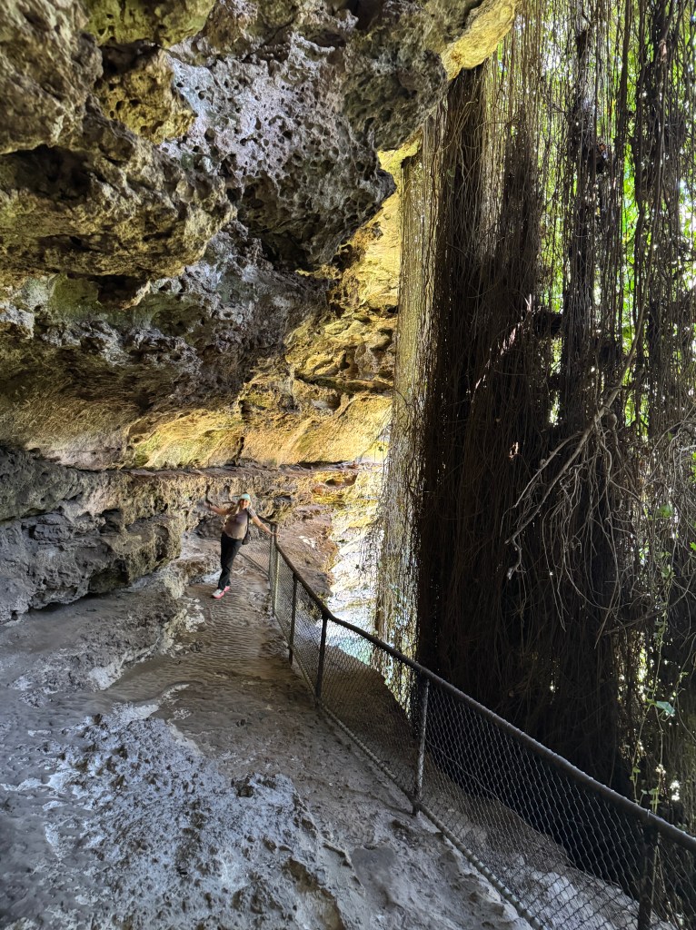
The drives out to Blackfellows Cave and Carpenter Rocks took us past clusters of 20‑odd fishing shacks — tiny communities of salty dogs who look like they’ve been here since the ocean was invented.
Robe, Kingston SE & The Coastal Rhythm
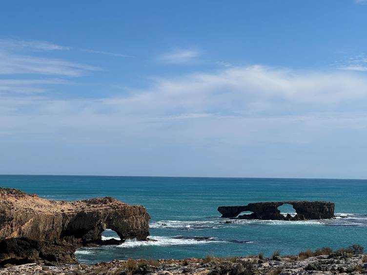
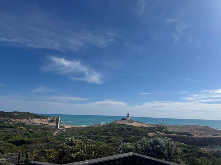
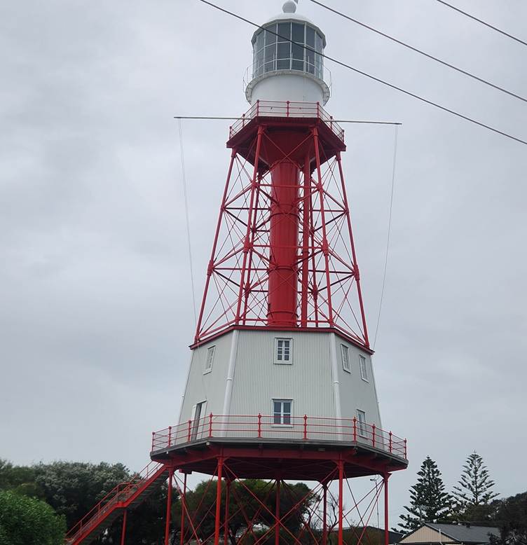
Robe had more character and a bit more size. We stretched the legs on a 4 km walk to the Obelisk, then continued up the coast to Kingston SE (after Shell completed some essential retail therapy) and Granite Rocks.
The scenery was different to anything we’d seen in other states — flatter, wider, calmer. It took a while to adjust.
Turning North… and the Murray
Then came the pivot north. Yes — north. Where could we possibly be heading?
Rain chased us through Tailem Bend and Murray Bridge, both a bit big for our liking, so we pushed on to Mannum and camped beside the Murray. Peaceful? Not during school holidays. Jetskis, motorboats, houseboats, kids everywhere. UG.
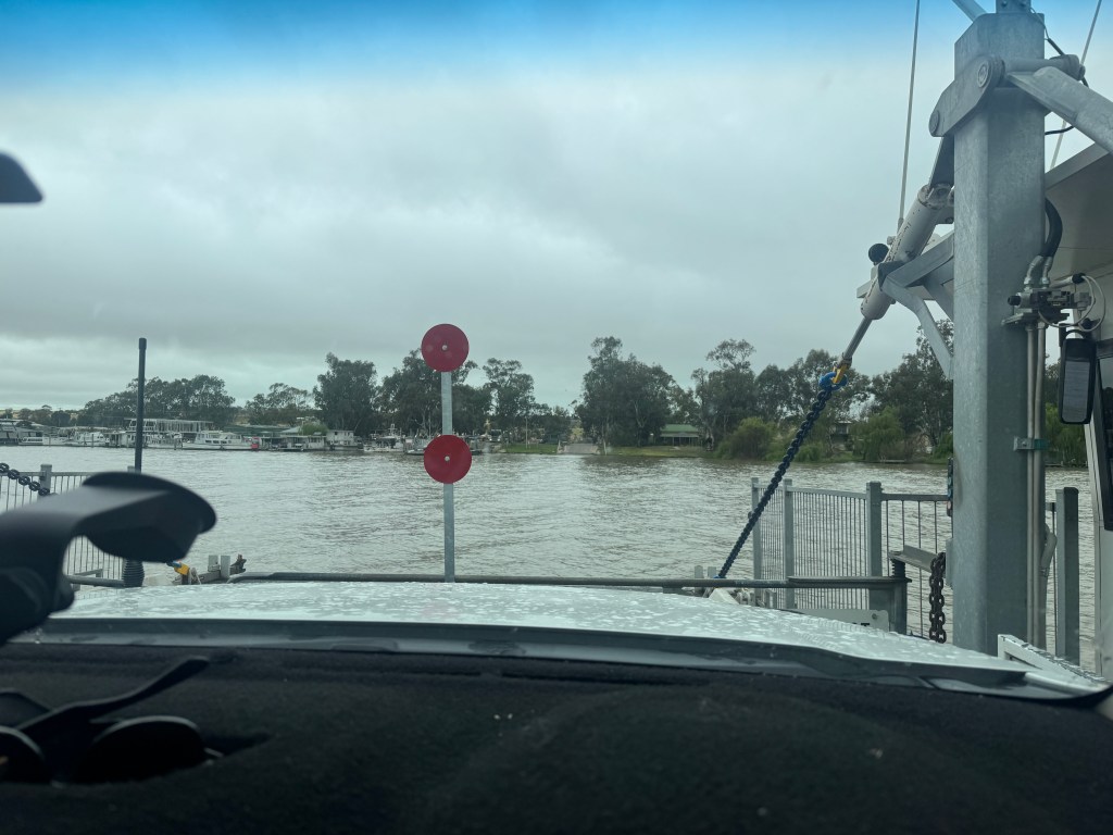
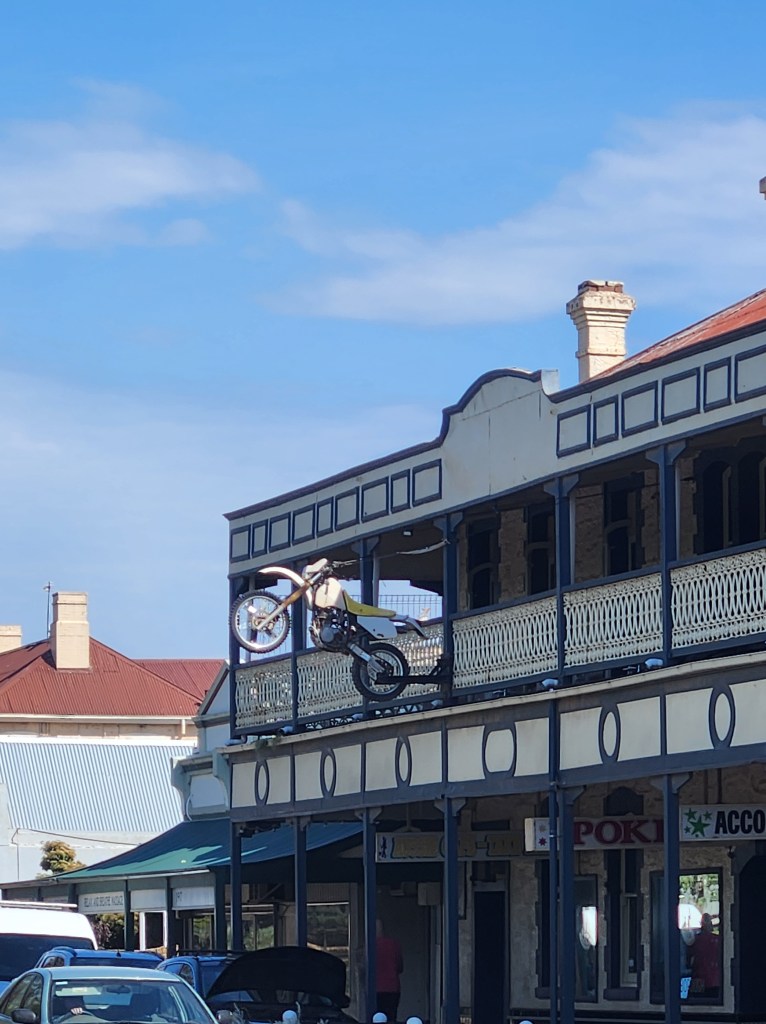
Next morning we followed the Murray north — fun fact: it’s the third longest navigable river in the world, behind the Amazon and the Nile. Not bad for a river Aussies mostly talk about when it floods.
Burra → Orroroo — Rolling Plains & Shattered Bowls
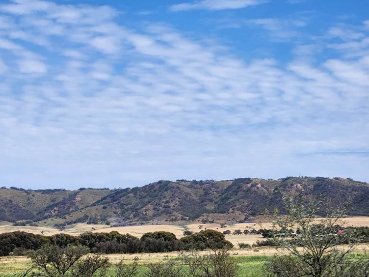
Burra was a gem — heritage listed by both SA and Australia, and chasing international listing. We wanted two nights but only snagged one, so we rolled on to Orroroo, a town with a name that makes you howl like a dog all the way there.
The landscape had morphed into rolling plains of farmland, calming and colourful. Wildflowers started popping up. That night I managed to destroy an “unbreakable” bowl. Turns out they don’t break — they explode into a thousand razor‑sharp pieces. Talent.
The Orroroo campground and caretaker (Kym) were characters. We wandered the local golf course, which goes wild for eight months of the year — three feet of grass, black‑soil greens. Saw a 300‑year‑old gum tree and a cracking lookout. Not a bad spot at all.
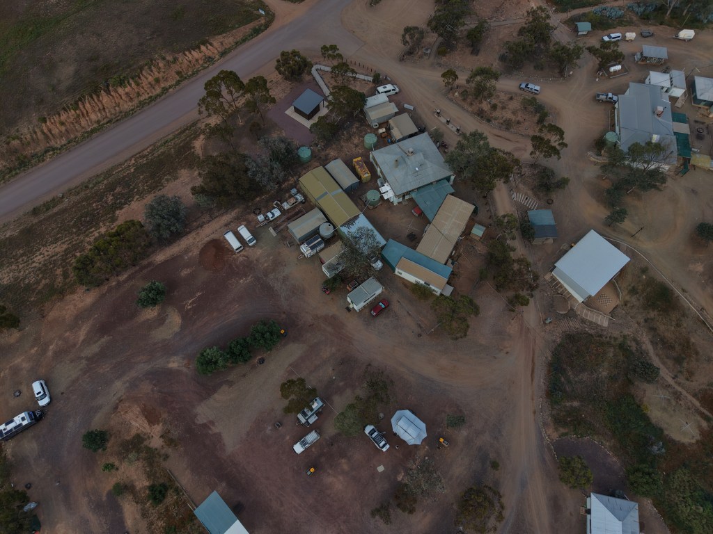
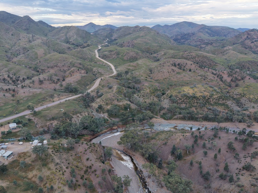
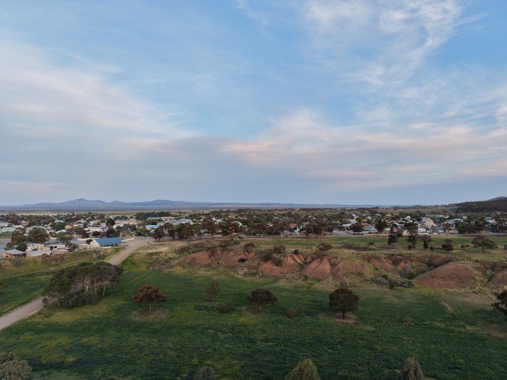
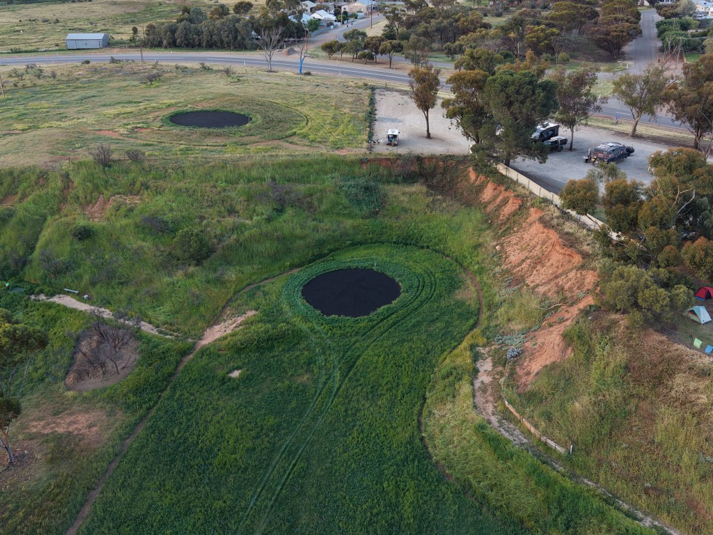
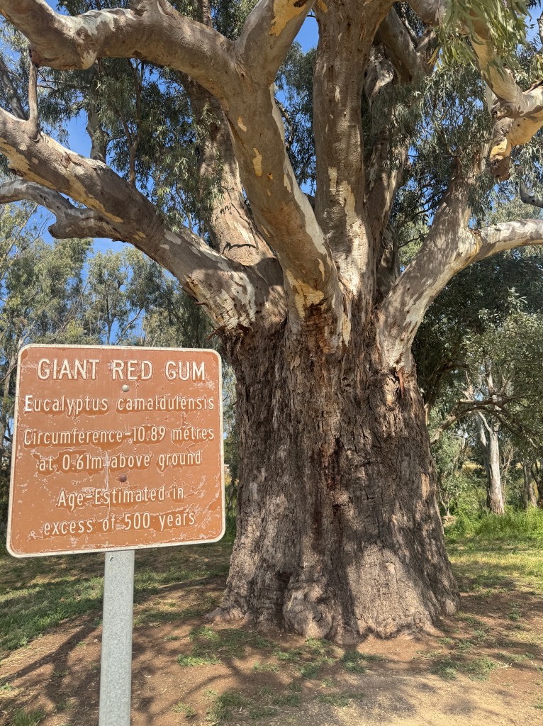
Kym gave us tips for the next leg, and the next morning we pointed the nose toward the Flinders Ranges.
Wilpena Pound — Colour, Culture & Flies
Wilpena Pound greeted us with colour — purples, greens, everything glowing after months of rain. It was school holidays for both Vic and SA, so the campground was hectic, but the place is huge and run as a joint venture between National Parks and the local First Nations people. We settled in for a few days.
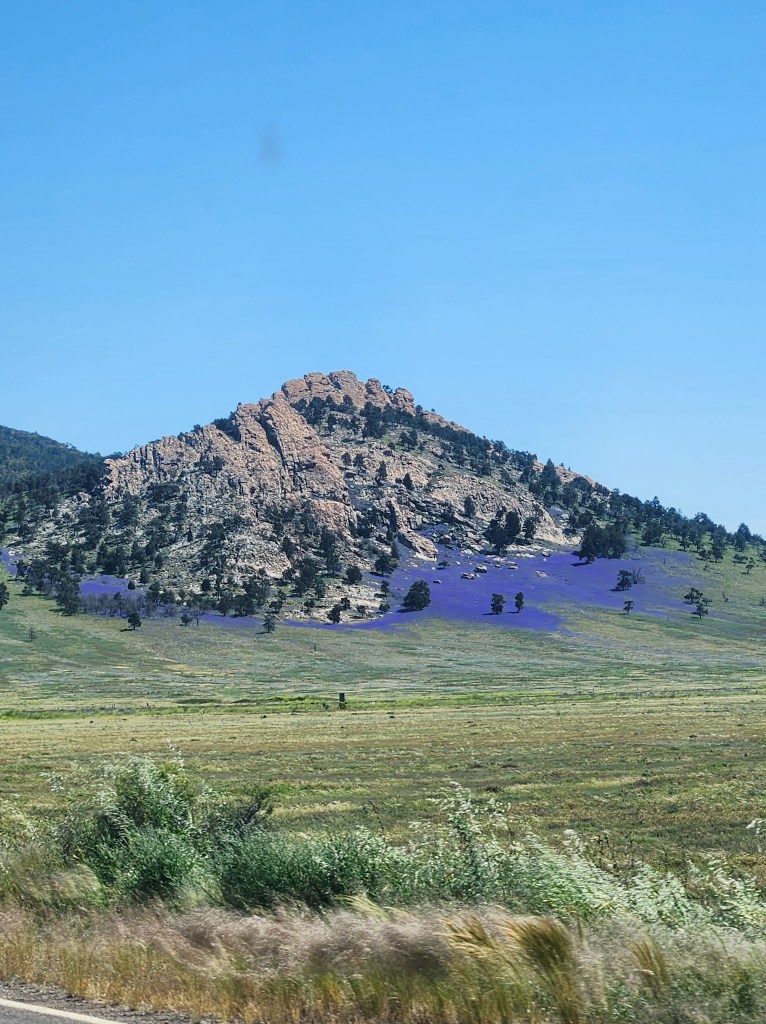
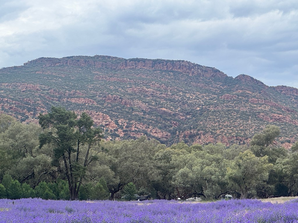
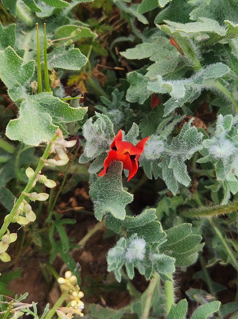
That night we went to our first welcoming ceremony. The creation story of the Flinders was told with sincerity and professionalism — a real highlight.
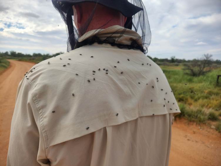
Then came the flies. Did I mention the flies? They arrived with vengeance. Thank goodness for the nets.
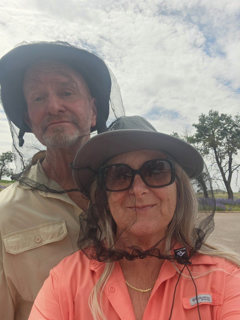
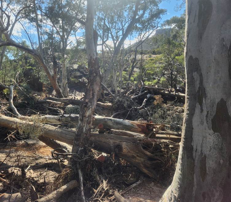
We tackled the “7.2 km” walk to the homestead and lookout — liars, liars, pants on fire. Shelly’s watch clocked it at 9 km in 27–35 degrees. The walk was stunning though, following Wilpena Creek through a valley into the Pound. Huge gums had been washed over in winter rains, blocking the creek in places — now we understood why the area had been closed.
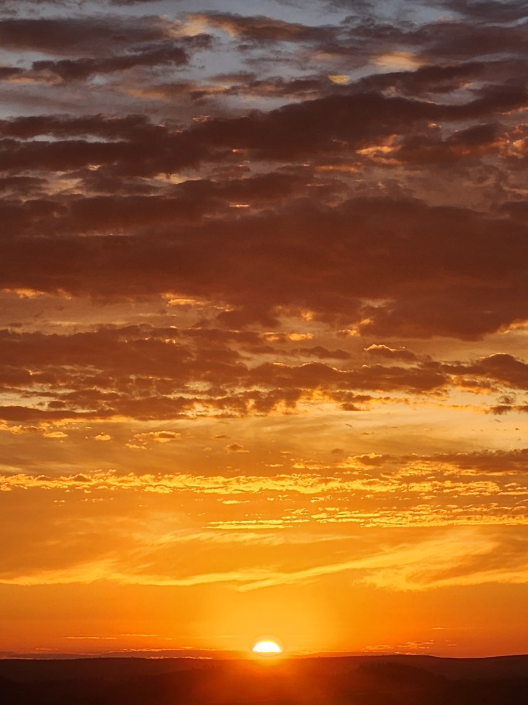
Shell climbed the hill behind camp for sunrise the next morning but was chased off by flies. We lounged, wandered, dipped in the icy pool (BRRRRRR), and soaked up the place.
North Again — Gorges, Flood Damage & Farina Fog
We headed north along the western side of the Flinders, passing flood‑damaged crossings every few kilometres. Visited the Great Wall of China (the SA version), stayed at Angorichina, then tackled a gorge run to Farina.
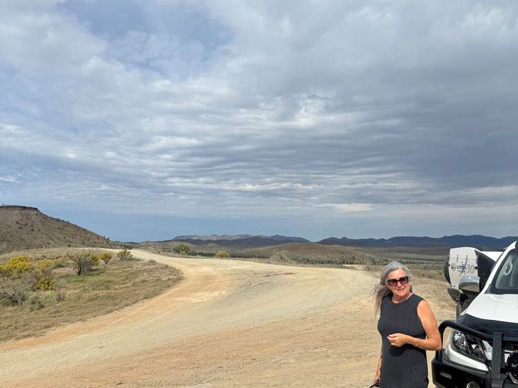
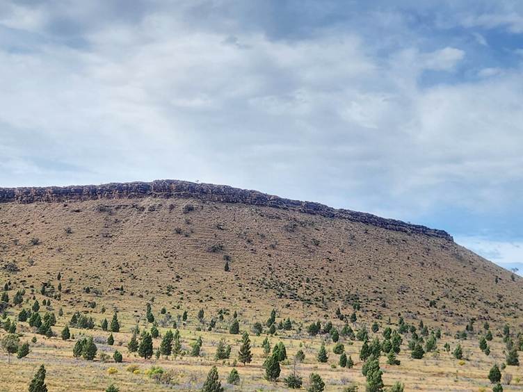
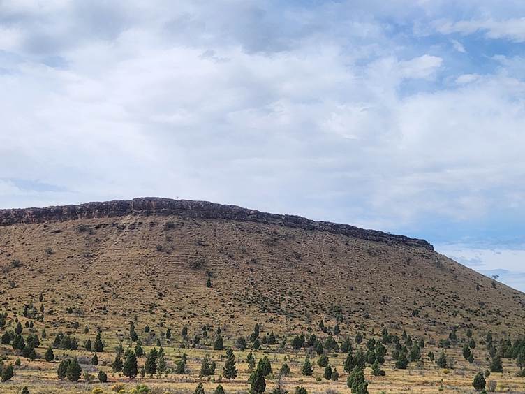
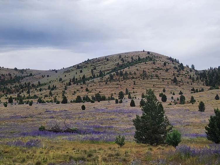
People rave about free camping in these gorges — now we get it. Some roads were still under repair, but the scenery was worth every bump.
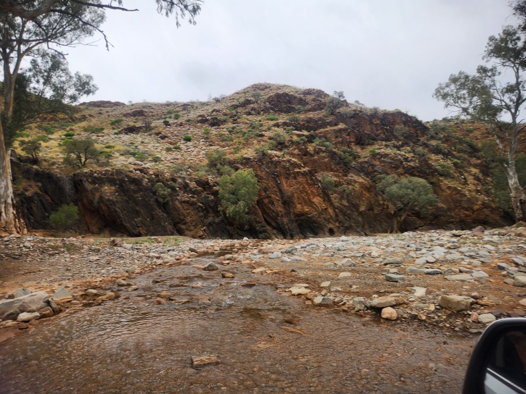
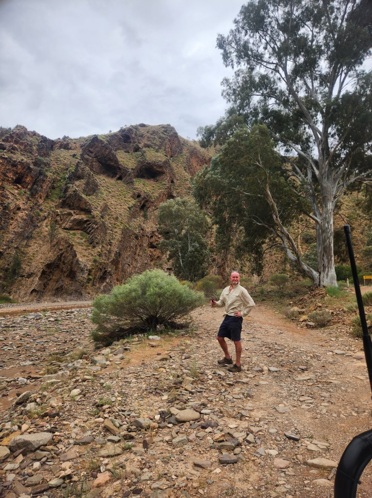
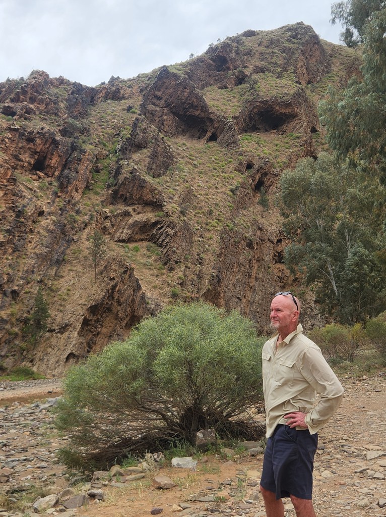
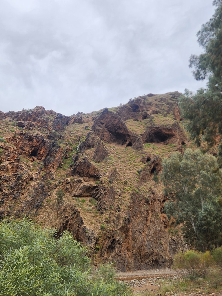
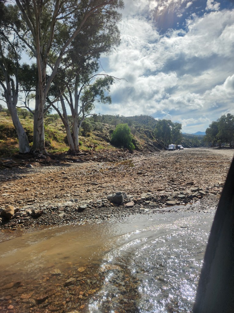
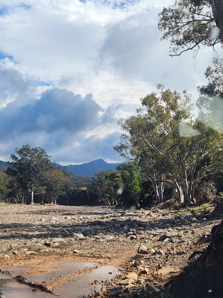
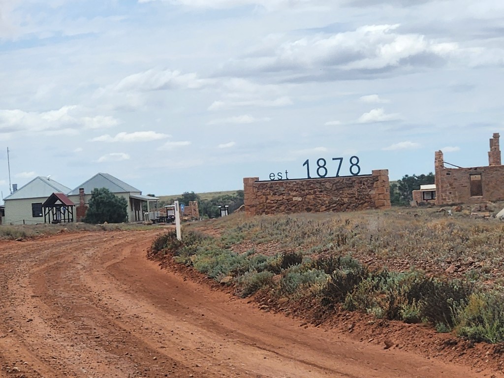
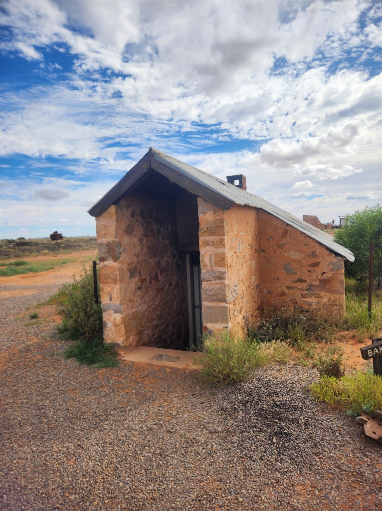
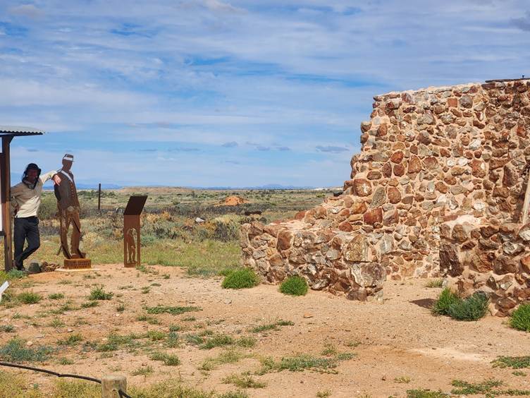
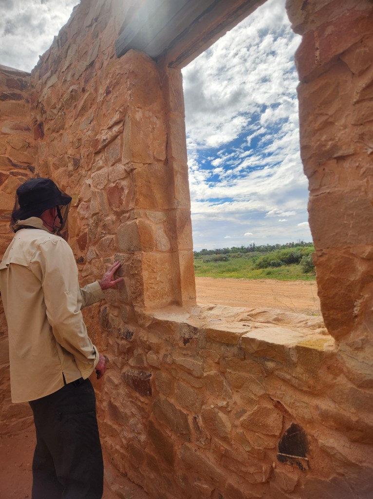
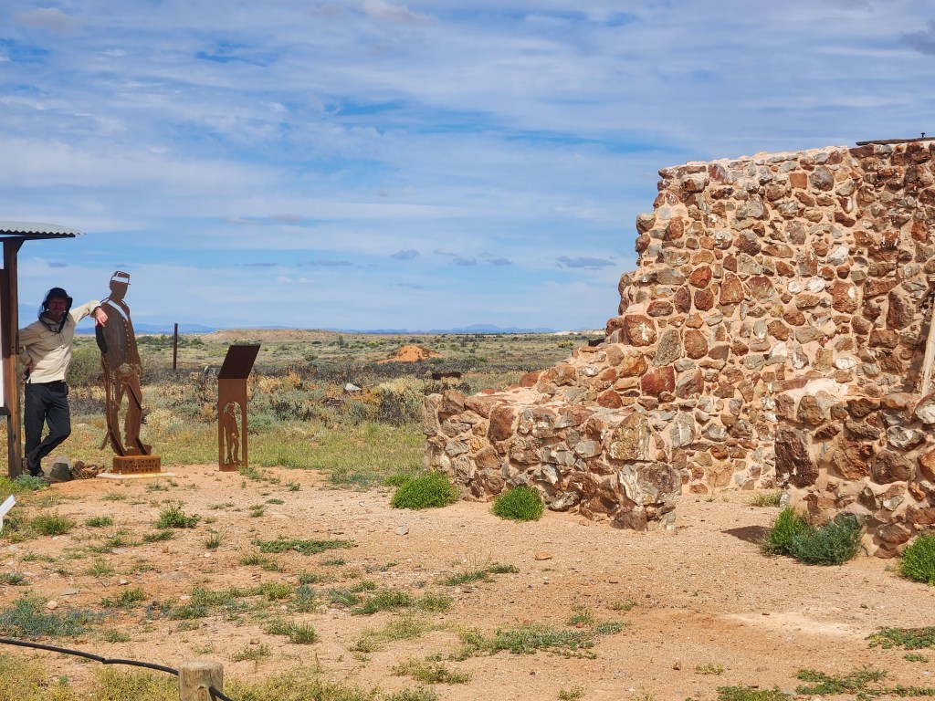
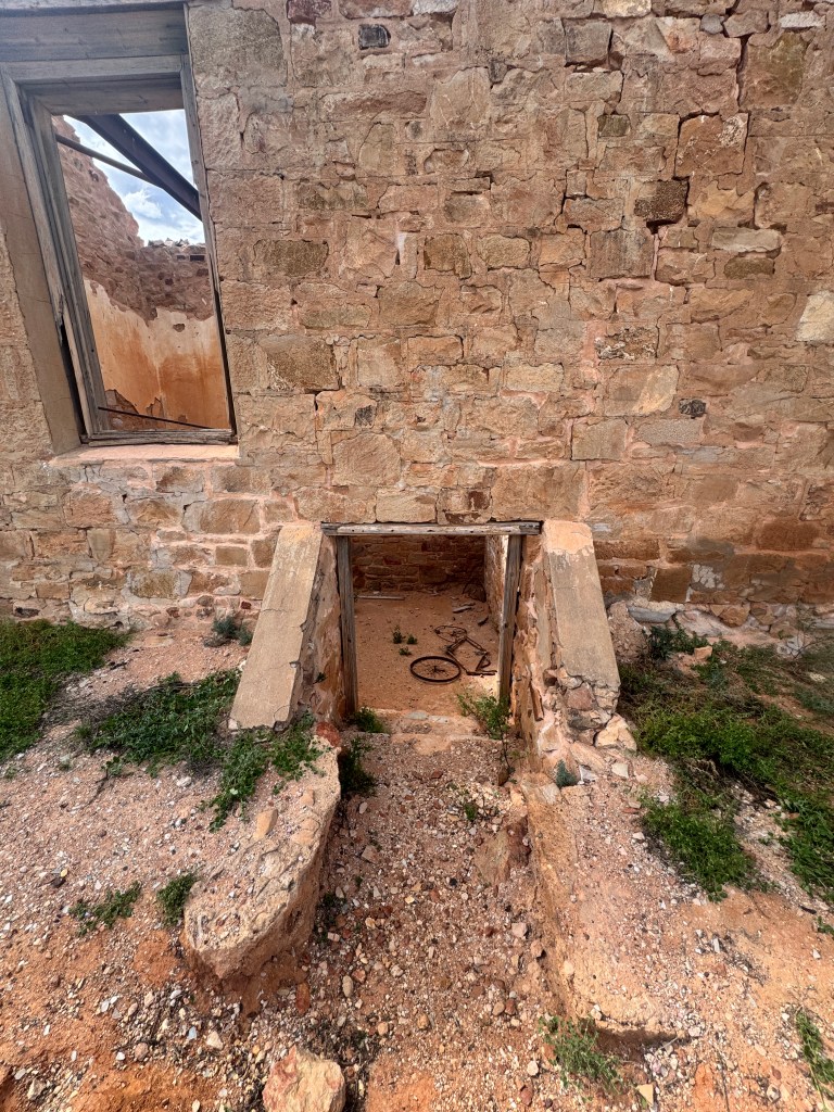
Farina was a station stay with a twist: the local community is restoring the old town. We woke to fog hugging the ranges. Magic.
The Oodnadatta Track Beckons…
And now we’re close. The Oodnadatta Track is just ahead. Are we really going to make it to Lake Eyre?
D&M — South Australia, You Beauty
From the southern tip through rolling fields, then rolling hills, then mountains — SA has been a pleasure. And it is green. The mid‑north has had so much rain in the last eight months that everything is lush. We expected sand and brown. We got green and calm.
And the locals? They’re glowing. A good season does that.
We’re loving this state.
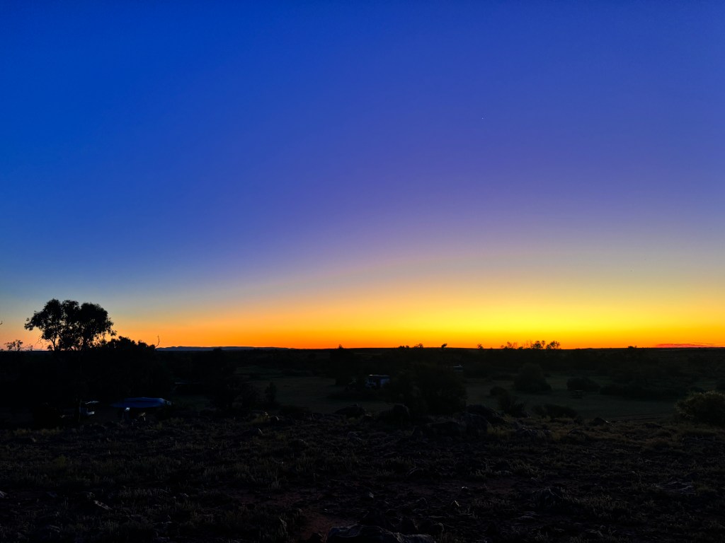
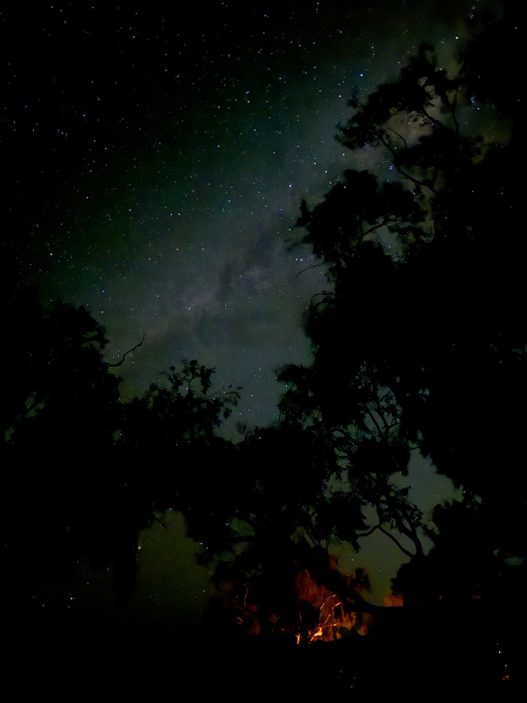
Lake Eyre… you’re next


Leave a Reply